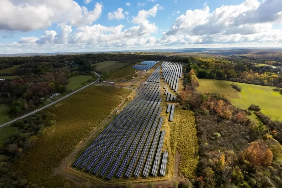
Roof inspections, progress photos and site maps by drone
Western New York and Erie, PA. One licensed pilot — I plan the flight, fly it, edit it and answer the phone. Flat price quoted before I fly.
What it costs
Quoted flat before I fly · travel included within 30 milesStarting prices for the five things people hire me for. Travel is included within 30 miles of Buffalo, then $0.70 a mile. Bigger sites and repeat visits get their own number — ask and you’ll have it the same day.
Close-range photos of the roof, gutters, flashing and chimney — without anyone going up a ladder to find out whether it’s worth going up a ladder.
Roofers · adjusters · homeowners
- Up to 50 high-resolution photos
- Marked-up summary PDF
- Back within 48 hours
Repeat visits flown from the same positions every time, so this month lines up against last month. Built for owner and lender reporting.
GCs · solar developers · lenders
- Dated stills, same angles
- Month-to-month comparison set
- Short edited video
Stills and edited video of finished work, property, campuses and venues, shot on a 20MP four-thirds sensor.
Contractors · realtors · venues
- Edited stills
- Graded video
- Vertical cuts for social
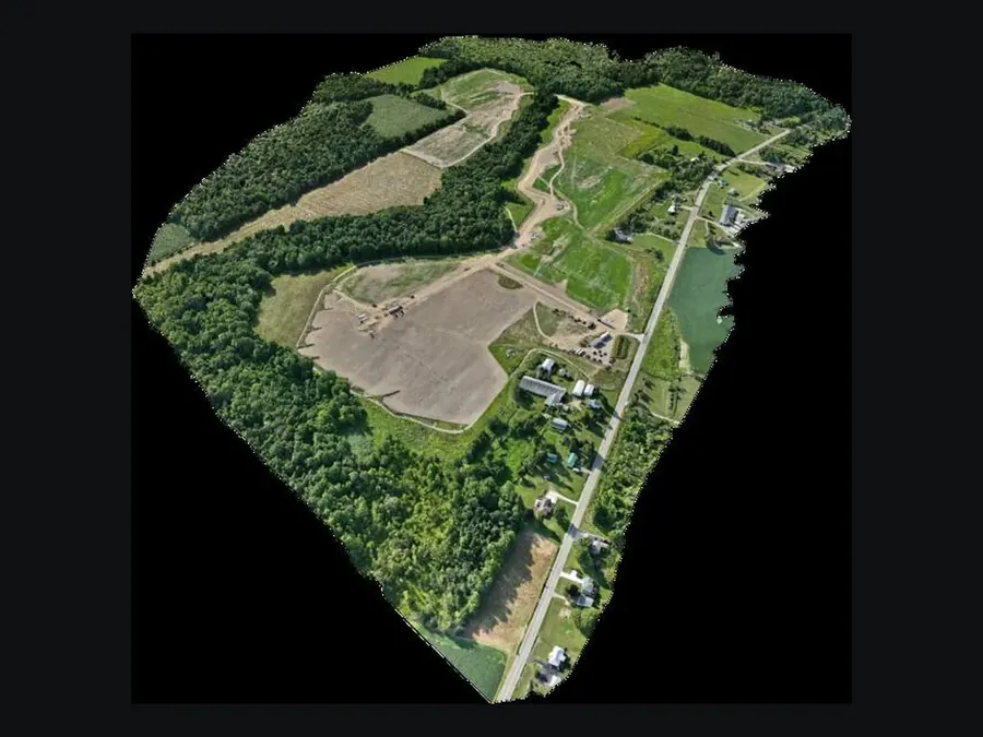
Overlapping imagery processed into a top-down map of the whole site, plus a 3D model you can spin. Visual reference for planning and coordination.
Solar · site work · planning
- Measurable top-down map
- Textured 3D model
- Point cloud on request
One continuous shot that moves through and around a building without a single cut. Flown manually — a standard camera drone can’t do it.
Marketing · venues · developers
- Graded video
- Vertical cuts
Recent jobs
Pick a job to view itBuffalo Solar
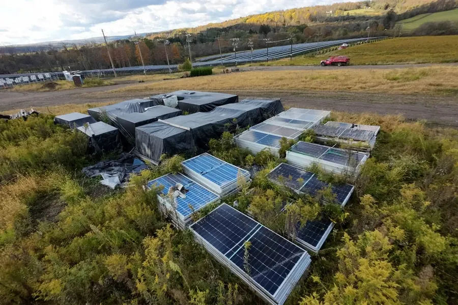
Progress · 2025–26Monthly progress documentation through construction, flown from consistent positions each visit.
Boyd Jones
PhotogrammetryOverlapping imagery processed into an orthomosaic and 3D model of a solar build.
Mercyhurst University
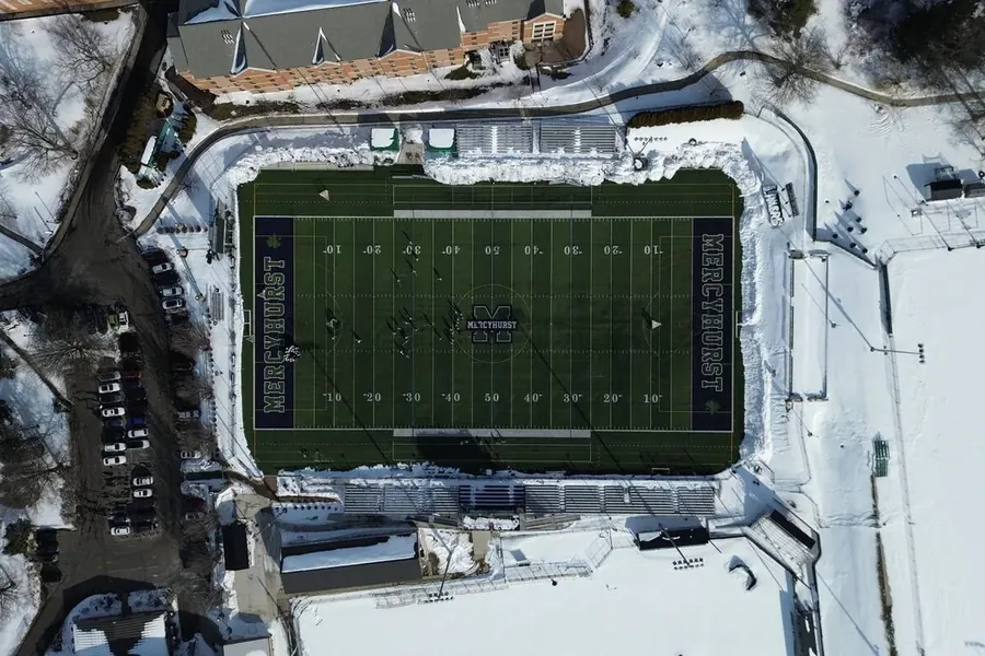
Campus · two seasonsPlan-view campus imagery in snow and in leaf, for admissions and marketing.
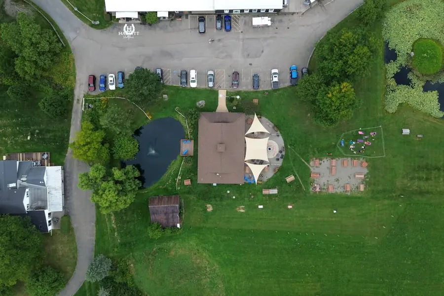
Hazlitt 1852 Vineyards
HospitalityEstate and vineyard imagery through harvest, stills and graded video.
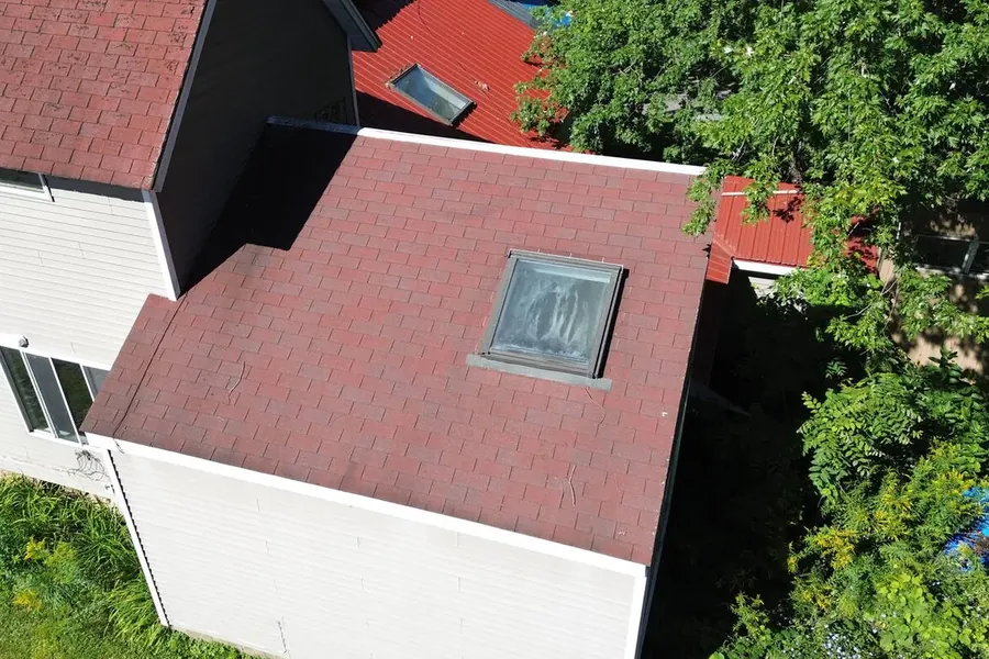
Residential roofs
InspectionClose-range roof and structure imagery with a marked-up summary for the owner.
 Buffalo Solar
Why not just use the basemap
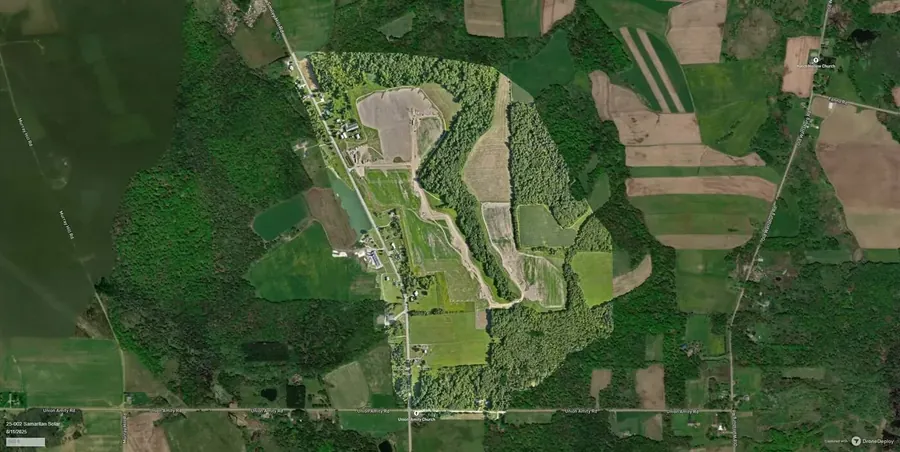
Public satellite imagery is often two or three years old and too coarse to see what you need. Drag to compare it against the same ground flown this month.
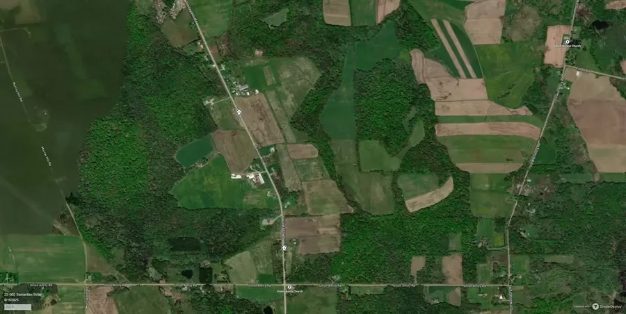
 Public basemap · years old
Flown by me
Public basemap · years old
Flown by me
Basemap imagery © Google, attribution visible in frame.
Straight about accuracy
I fly without RTK or ground control, so measurements are accurate to metres, not centimetres. The maps and models are a visual reference for planning and coordination — not licensed surveying. If you need survey-grade numbers, hire a surveyor and I’ll fly alongside them.
How it works
Send the address
The address and one line about what you need. I check the airspace and send a flat price, usually the same day.
I fly it
Under two hours on site for most jobs. You don’t need to be there, and I coordinate with anyone who does.
Files land in your inbox
A download link in 48 hours to 5 days, in the formats your team already opens. Yours to use however you like.
Send me an address
Quotes are flat and free. If a drone isn’t the right tool for your job, I’ll tell you that instead of selling you a flight.