Services and prices
Five things I fly. Flat price agreed before the flight, finished files after it — not a card full of raw footage.
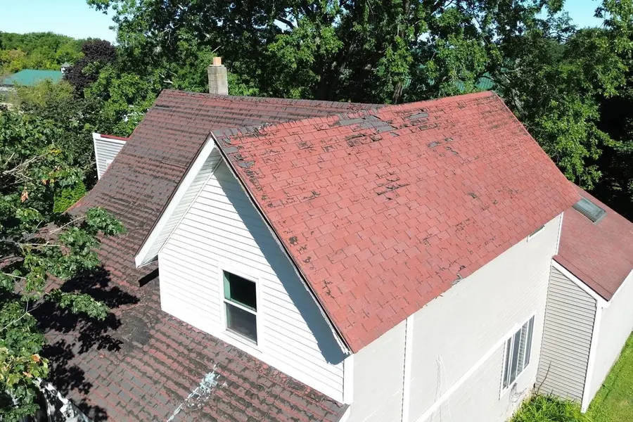
Roof inspections
from $125Close-range imagery of roofs, façades, gutters, flashing, and elevated equipment, so nobody climbs a ladder to find out whether it is worth climbing a ladder. Useful for condition reports, insurance documentation, and quoting repair work before setting foot on the building.
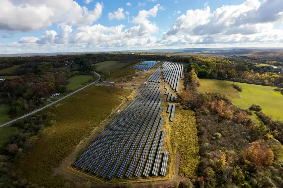
Progress photos
$325 / visitRepeat visits flown from the same positions each time, so this month lines up against last month and the change is obvious at a glance. Built for reporting to owners, lenders, and project teams who are not on site. Scheduling is usually monthly, but it can follow your milestones instead.
- One-off visit
- $325
- 6 monthly visits
- $295 each
- 12 monthly visits
- $275 each
Invoiced per visit, not upfront. Cancel with two weeks’ notice.
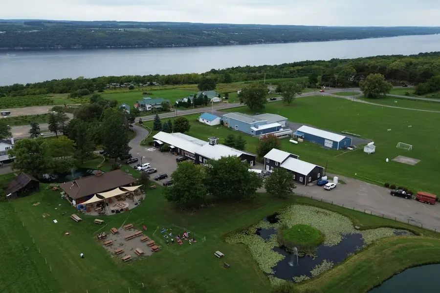
Property photos and video
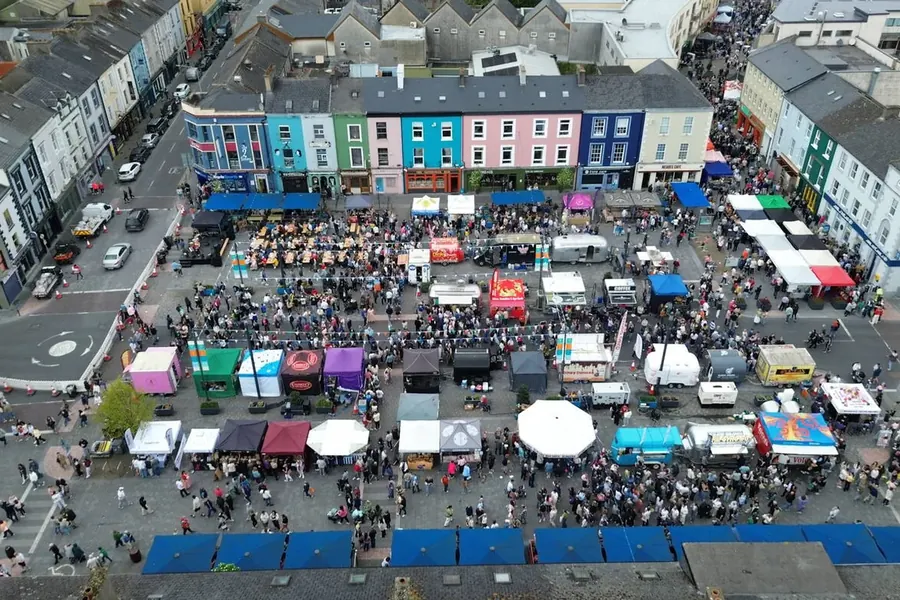
from $425Stills and edited video of property, campuses, venues, and sites, shot on a 20-megapixel four-thirds sensor. Used for listings, websites, brochures, funding applications, and social media. Most jobs are a single visit of an hour or two.
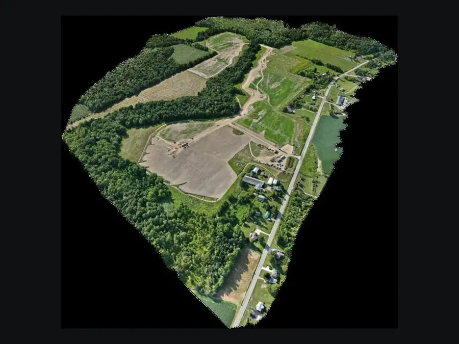
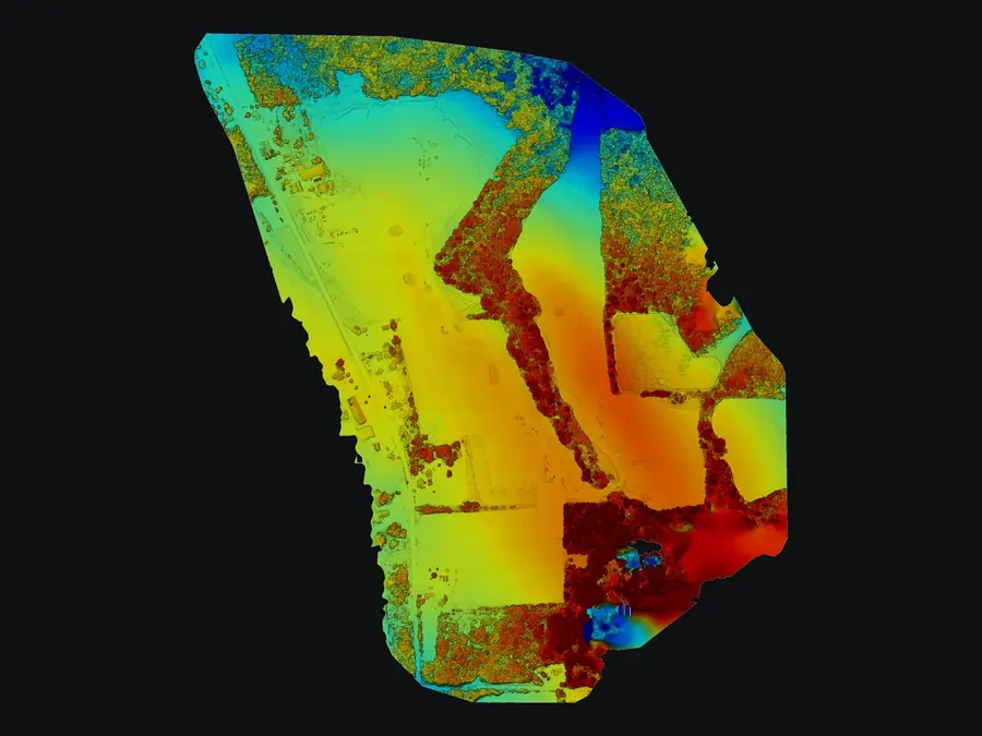
Top: textured 3D model. Bottom: elevation model — colour runs low to high, so you can read how the ground sits across the site.
Site maps and 3D models
from $450Overlapping imagery flown on a grid and processed into an orthomosaic, a textured 3D model, or a point cloud. It shows a whole site as one continuous image, which is useful for planning, coordination, and explaining a site to people who have never stood on it. Please read the accuracy note below before ordering this for measurement work.
FPV flythrough video
from $600One continuous shot that moves through a doorway, along a corridor, around a building, and back out, without a single cut. It is flown manually on an FPV aircraft, which is a different discipline from flying a camera drone, and it is not something a standard drone can do. It works especially well for venues, hotels, wineries, and launch campaigns.
Before you book
What do you need from me?
The address, gate or lockbox codes if there are any, and a name and number for whoever is on site that day. You don’t need to be there. For occupied buildings, let the occupants know I’m coming — it saves a conversation on the driveway.
What happens if the weather turns?
Rain, low cloud and sustained wind above roughly 20 mph ground the aircraft. I’ll call the morning of the flight if it isn’t flyable and we’ll move it. No charge for a weather reschedule.
What about my neighbours?
I photograph your property, not theirs. Flights stay over the site and its immediate approach, and I don’t shoot into windows or over adjoining gardens. Most jobs take twenty minutes in the air, and I carry my certificate.
Can you help with an insurance claim?
Roof imagery is regularly used to support damage claims. Files come with the flight date and time, and I’ll speak to your adjuster or contractor directly if that helps. I document condition — I don’t assess cause or write scope.
Who owns the photos?
You do, for any use you like — listings, brochures, social, submissions to a lender. I keep the right to show the work in my own portfolio, and I’ll leave a job out of it if you ask. Inspection work is kept private as a matter of course.
How does paying work?
One flat price agreed before the flight, invoiced on delivery. Homeowners pay on receipt of the files; contractors and repeat accounts can have net 30. No deposit on single-visit jobs.
A note on accuracy
Androne Imagery is not a licensed land surveying or professional engineering firm, and nothing produced here is a substitute for a survey by a licensed surveyor. Imagery is positioned using the aircraft’s onboard GNSS. I do not currently fly with RTK or place ground control points, which means absolute position is accurate to within several metres rather than centimetres. Relative geometry within a single flight is considerably better than that, so models are dependable for visual reference, planning, and coordination — but they should not be used to set boundaries, stake construction, or calculate volumes that money changes hands over. If your project needs survey-grade accuracy, say so when you enquire and I will tell you honestly whether I can help or refer you on.
Tell me about your site
Quotes are flat and free. If a job isn’t a good fit for a drone, I’ll say so.